Europe's new Sentinel-3C satellite just sent back spectacular images of Earth
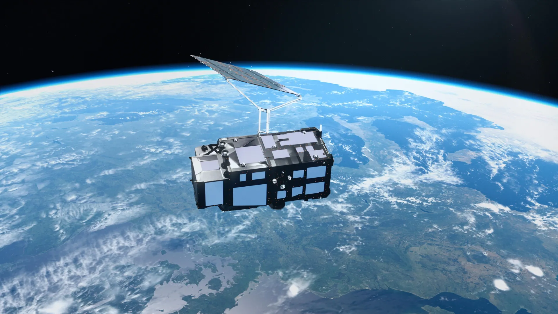
Europe's Sentinel-3C satellite has returned breathtaking images of Earth just two weeks after launch, revealing the snowy Alps, frozen Arctic islands, and brilliant turquoise Caribbean waters. Its first measurements also show promising results for tracking rising seas, melting ice sheets, and other changes reshaping our planet.
Key points
- Europe's Copernicus Sentinel-3C satellite delivered its first images of Earth two weeks after reaching orbit.
- The satellite's instruments have begun measuring ocean heights and Greenland's ice sheet elevation.
- Full operation is expected in about five months after testing and commissioning.
Europe's new Copernicus Sentinel-3C satellite has sent back its first images of Earth just two weeks after reaching orbit. The images show landscapes from the snow-covered Alps to the frozen Arctic and the turquoise waters of the Caribbean.
The satellite's instruments have also started measuring ocean heights and the elevation of Greenland's ice sheet. These early results demonstrate the technology designed to monitor Earth's changing climate.
Instruments and mission
Sentinel-3C is the third spacecraft in Europe's Sentinel-3 series, part of the Copernicus Earth observation program. Its instruments gather data on oceans, land, atmosphere, and frozen regions.
Over oceans, it measures sea surface temperature, color, and height, plus sea ice thickness. On land, it tracks droughts, wildfires, vegetation health, and water levels in rivers and lakes.
Both are performing well in initial tests, bringing the satellite closer to its mission of tracking environmental changes across the planet.
— European Space Agency (ESA)
First images and measurements
One image from September 30 shows Italy and surrounding seas in natural color, from southern Germany to the Mediterranean. It highlights the Po Valley, the snow-covered Alps, and sediment bands in the Adriatic Sea.
Another September 30 image shows the Canadian Arctic Archipelago with snow, exposed rock, and open water near the annual sea ice minimum. A September 29 image of the Caribbean reveals Cuba and the Bahamas with turquoise shallow waters.
The radar altimeter has collected sea surface height data across the Atlantic and Mediterranean, matching existing measurements. Between September 30 and October 4, it also measured Greenland's ice sheet elevation, closely agreeing with reference data.