Hurricane warning maps are improving, but a dangerous problem remains
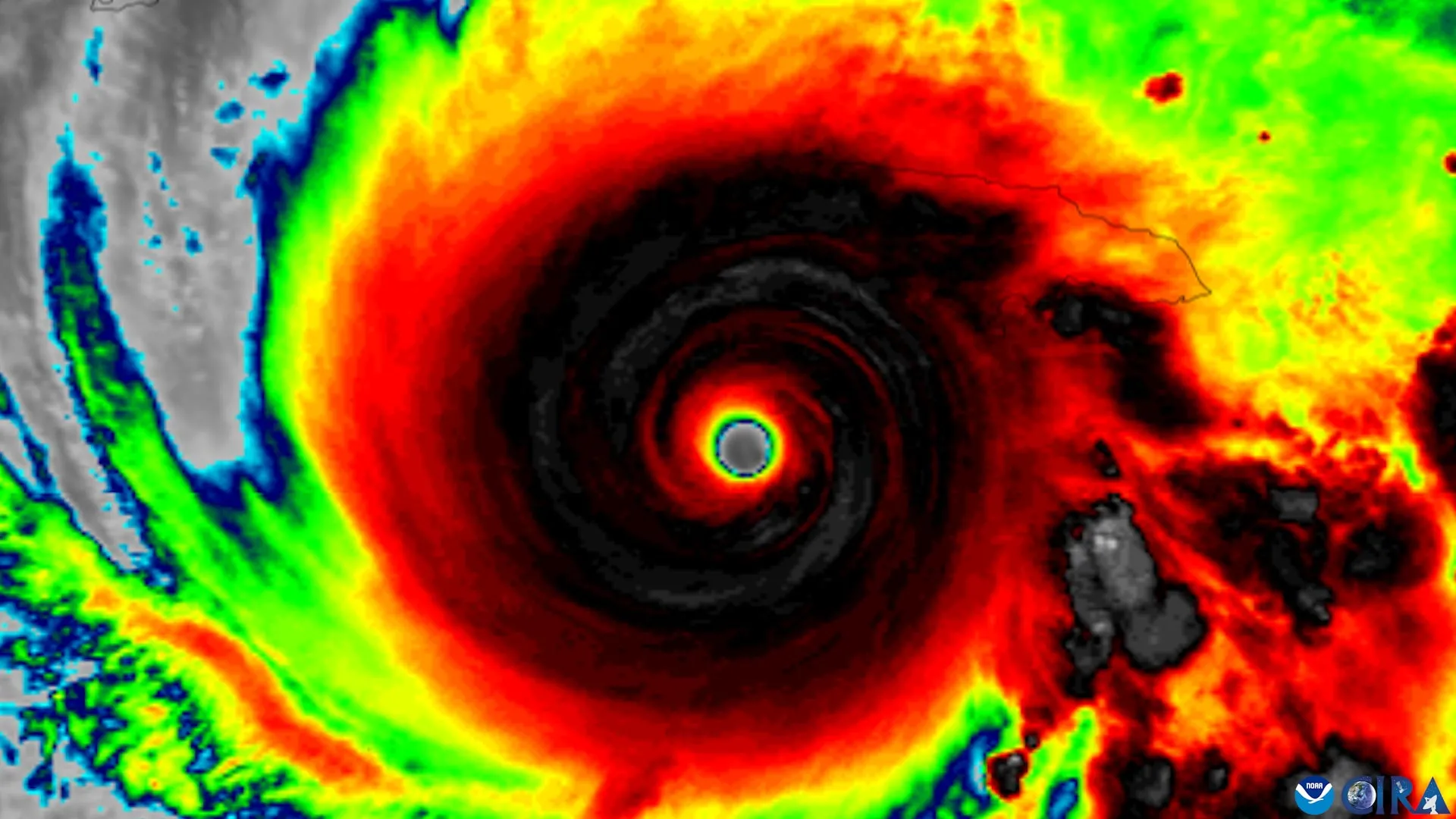
A new study reveals that improved hurricane forecast graphics may help people identify threatened areas without making them more likely to recognize the danger or take protective action. Researchers also found that a widespread misunderstanding of the hurricane cone persists, highlighting a potentially dangerous gap between accurate forecasts and public preparedness.
Key points
- A Florida State University study found an updated hurricane map helped people spot inland watch areas but not feel more at risk.
- Many people still misread the hurricane cone's width as the storm's physical size rather than track uncertainty.
- Researchers say one graphic cannot convey every hazard and recommend pairing it with local forecasts and impact details.
An updated National Hurricane Center forecast graphic helps people recognize inland areas under hurricane or tropical storm watches, but it does not make them feel more at risk or more likely to take precautions, according to new research from Florida State University. The study, published in the American Meteorological Society journal Weather, Climate, and Society, examined whether changes to the NHC's forecast graphics improve public understanding of hurricane threats.
The experimental graphic, developed by the NHC in 2024, expands the traditional forecast cone to include tropical storm and hurricane watches and warnings for inland areas. The familiar cone has historically emphasized coastal regions, even though dangerous conditions can reach far from the shoreline.
What the study found
Researchers surveyed residents of Florida and Georgia, showing them either the conventional cone or the newer version. People who saw the revised map were better at identifying locations under hurricane or tropical storm watches, but the study found no improvement in identifying areas covered by storm warnings.
The results also showed a persistent misunderstanding of the cone of uncertainty. Many people wrongly read the cone's width as the storm's physical size rather than as uncertainty in its projected track.
Don't rely on the cone alone. Pair it with clear, local information about what impacts to expect and what actions to take.
— Elizabeth Ray
Researchers urge local context
The authors said their findings do not question the quality of NHC forecasts, which they called highly accurate, but highlight how hard it is to present complex weather information in a usable way. They recommend using forecast graphics alongside local predictions and details about possible impacts.
The study was funded through an internal Florida State University SEED grant and informed by discussions with the NHC, which supplied the experimental graphics. Bradford Johnson of the Department of Geography was a co-author.